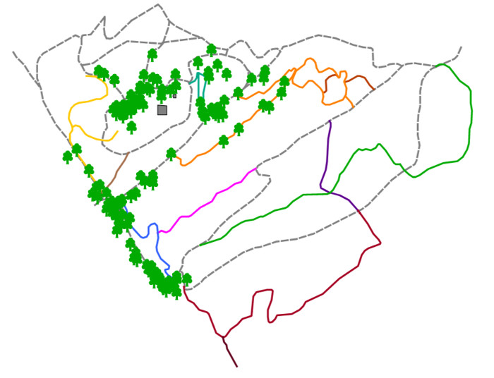
Click on the image below to open the Interactive Urban Trees Map
In the interactive view, hover over a tree symbol with the mouse to view information about that tree.
Use the + and – boxes at top left to zoom in and out of the view.
The tree information includes (from top to bottom) the Number of the tree, the Scientific Name, the Cultivar (if any), the Common Name, and the GPS Latitude and GPS Longitude coordinates.