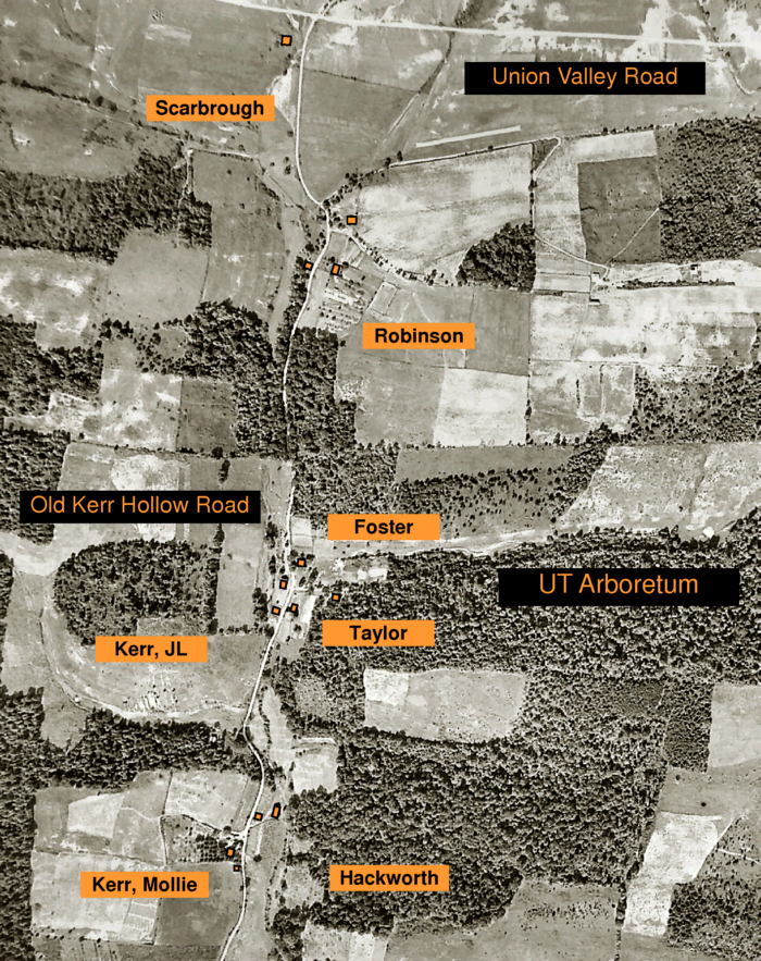
Kerr Hollow Heritage Trace Property Map
The aerial photo background of this map was taken in 1942 during the establishment of the Manhattan Project.
Visit the Historical Photo Gallery to read about the family names in orange
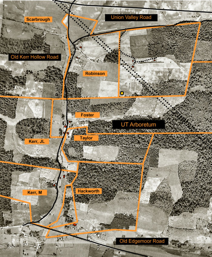
Kerr Hollow Heritage Trace Plat
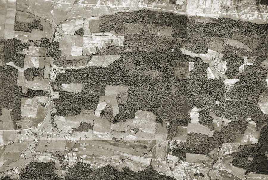
Kerr Hollow Heritage Trace 1942 Aerial Photo
This aerial photo was taken in 1942 during the establishment of the Manhattan Project.